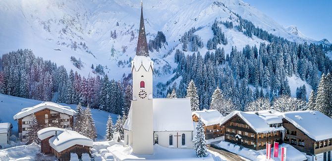
Schröcken.
Expansive high-altitude settlement in magnificent mountain scenery.
Schröcken is extremely diverse in landscape and is characterized by its scattered settlement, spread across 9 parcels (= districts). These are located on slopes and plateaus with widely scattered hamlets. The municipality stretches from Unterboden at 1,150 meters to the natural jewel of Körbersee at 1,660 meters above sea level.
Nestled amidst lush alpine meadows and shady mountain forests, Schröcken is surrounded by steep flanks in an impressive cirque. This is framed by prominent peaks such as the Juppenspitze, Mohnenfluh, Braunarlspitze, Hochberg, Rothorn, Hochkünzelspitze, and Höferspitze.
The name "Schröcken" derives from the rugged mountain landscape (Middle High German "schrecken" for "to split", "to crack"), with the term "Giersboden" prevailing until 1640, derived from the Walser term "Gir" for birds of prey.
A pioneering achievement for the area was the initiative of Alfons Strolz, who independently built the first drag lift in Schröcken in 1953. In 1964, he founded the Schröcken ski lifts. The expansion of the Hochtannbergstraße in 1954 was another milestone for tourist development.
Today, about 220 residents live year-round in the small municipality, most of whom are active in one of the numerous associations.
Accommodations in Schröcken offer a wide range of options, from cozy holiday apartments, bed and breakfast guesthouses, and hotels with half-board to high-quality equipped chalets.
Did you know?
- Today the little mountain village of Schröcken has 220 inhabitants.
- Schröcken, with 9 areas, is a scattered settlement.
- There are 8 active associations in Schröcken.
- When the Tannberg bridge was built in 1935, spanning 55 metres in height and 70 metres wide, it was the third highest arched bridge in Austria.
- In 2017 the natural gem, Körbersee in Schröcken, was named as the loveliest place in Austria in the ORF show ‘9 Plätze 9 Schätze’.
- The glacial mill on the path to Alpe Felle is a relic from the Ice Age.

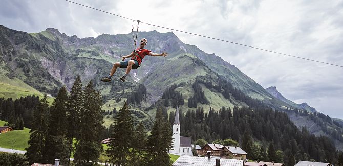
Schröcken in summer.
